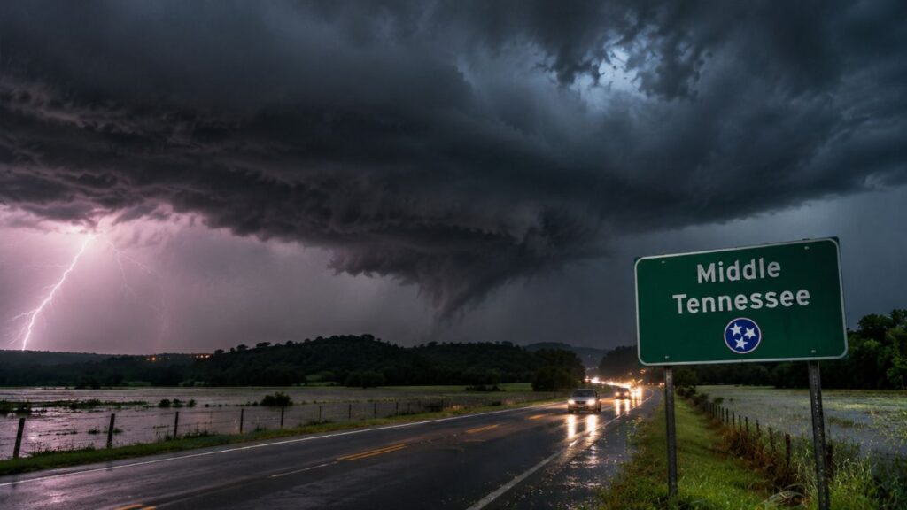
Middle Tennessee Faces Damaging Winds, Flash Flooding and a Small Overnight Tornado Risk From Mini Supercells West of I-65 Tonight Between 10 p.m. and 1 a.m.
NASHVILLE, TENNESSEE — Storms moving into Middle Tennessee tonight, Wednesday, November 4, 2026, could bring damaging winds, isolated flash flooding, and a small chance for a few brief, weak tornado spin-ups from mini supercells.
While forecasters stress the setup is not overly impressive, it is still something to watch, especially along and west of Interstate 65.
Overnight Threat Window: 10 p.m. to 1 a.m.
The greatest concern for rotating storms falls during a short overnight window:
| Time | What to Watch |
|---|---|
| Wednesday evening | Rain and storms move in from the west |
| 10 p.m. to 1 a.m. | Brief tornado spin-ups possible with mini supercells |
| Overnight | Damaging winds and heavy rain continue |
| Thursday morning and afternoon | Some storms could restrengthen |
Main Threat Zone: Along and West of I-65

The tornado concern is focused mainly along and west of I-65, an area that includes communities such as:
- Clarksville
- Dickson
- Nashville
- Columbia
- Linden
- Savannah
- Pulaski
Areas farther east, including Lebanon, Murfreesboro, Cookeville, McMinnville and Winchester, may still see storms but are less likely to see rotation.
Moist, Warm Air in Place but Little Instability
The atmosphere over Middle Tennessee is very moist and rich, sitting inside the storm’s warm sector. However, instability is basically nonexistent, which usually limits how strong storms can become.
Low-Level Wind Shear Raises the Spin-Up Risk
What keeps the threat on the radar is a decent amount of wind shear near the ground. That shear can help some storms briefly rotate, even without much instability, leading to quick, weak tornadoes that can form with little warning.
Damaging Winds Are the Main Concern
With a strong jet stream overhead, forecasters say the wind will be cranking. Damaging wind gusts are the primary threat tonight, capable of:
- Knocking down trees and large limbs
- Bringing down power lines
- Causing power outages across parts of the region
Isolated Flash Flooding Also Possible
Simulated radar shows heavy rain across western Middle Tennessee, especially near Clarksville, Dickson, Linden and Savannah. Repeated downpours could lead to isolated flash flooding, particularly in low-lying areas and places with poor drainage.
Prepare for Power Outages and Clear Storm Drains
Residents are encouraged to get ready before storms arrive:
- Charge phones and backup batteries
- Keep flashlights handy
- Clear storm drains near your home of leaves and debris
- Secure outdoor items that could be blown around
More Storms Possible Thursday
Forecasters say some storms could restrengthen during Thursday morning and afternoon. More details are expected once additional forecast guidance becomes available.
Overnight Severe Weather Safety
Because the highest risk comes late at night, it is important to have a way to receive alerts while sleeping:
- Turn phone alerts to loud
- Use a weather radio with alarm settings
- Know your safe place, such as an interior room on the lowest floor
- Avoid sleeping in mobile homes if possible during warnings
Outlook: Small Threat but Worth Watching
While tonight’s tornado threat is small, the combination of strong winds, heavy rain and low-level shear means Middle Tennessee residents should stay alert through the night.
Stay with Bchssreport.com for the latest updates on this story.
About The Author
