
Big October Cooldown Coming to Northern Ohio With Highs in the 40s, Multiple Frost Nights, and Even a Few Snowflakes Possible

Northern Ohio – Mother Nature may be getting ready to remind Northern Ohio that winter is not that far away. Long-range forecast models are becoming increasingly consistent in showing a significant pattern change between October 16 and October 20, bringing a serious fall chill to the region. Daytime highs could struggle to climb out of

Read More

Same Storm, Big Difference in Rainfall as Mountains Squeeze Out 4 to 8 Inches on Upslope Sides While Asheville Sits in a Rain Shadow

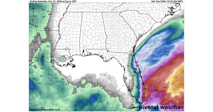
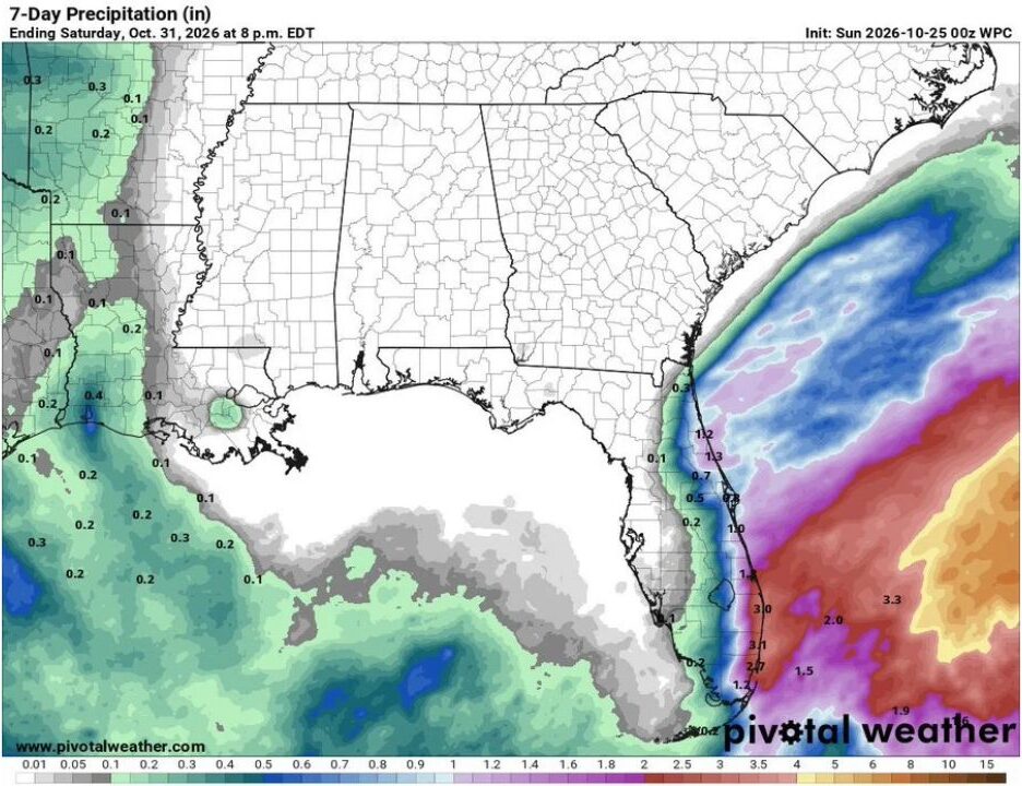
Greenville, South Carolina – As moisture from Isaias streams into the Southeast this weekend, the mountains of western North Carolina and the Upstate of South Carolina are about to show just how much terrain can affect rainfall. Forecast maps reveal a dramatic difference in rain totals between the upslope and downslope sides of the mountains.

Read More

Strong Cold Front Could Finally Bring Fall Weather to Oklahoma and Texas Late Next Week With Temperatures Dropping Well Below Normal

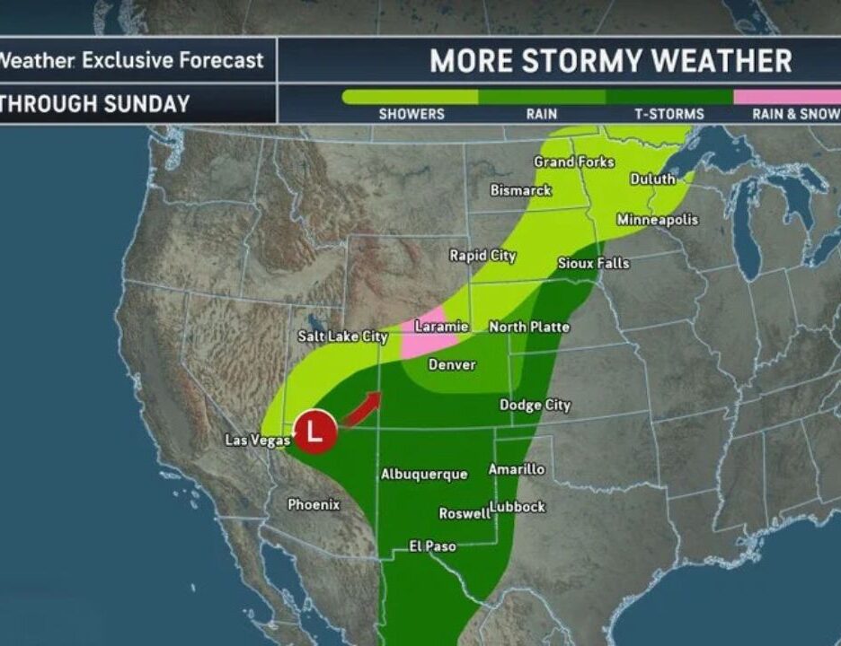
Oklahoma and Texas – A major pattern change is looking increasingly likely for Oklahoma and Texas next week. After another stretch of unusually warm weather, the region could see better rain chances and a noticeable cooldown. A weak front arrives around Tuesday, followed by increasing rain and storm chances midweek as a large storm system

Read More

Just-for-Fun Winter 2026-2027 Snowfall Prediction Map Has the Internet Laughing, From “Mountains Get Hammered” to “Florida Still Waiting”

United States – With fall in full swing and the first mountain snows already showing up across parts of the country, winter talk is officially heating up. A lighthearted, “official unofficial” snowfall prediction map for Winter 2026-2027 is making the rounds online, and while it is clearly not a real forecast, it has many people

Read More

Isaias Remnants Could Bring Sunday Soaker to the Ohio Valley as Latest Models Shift Heaviest Rain Farther West and Arrive Earlier

Ohio Valley – The forecast for Sunday is getting more interesting as Isaias approaches landfall along the northern Gulf Coast. The latest model guidance shows a few important trends emerging, including a slightly earlier arrival time and a possible westward shift in the axis of heaviest rain. One thing is becoming increasingly clear: Sunday is

Read More

Heavy Rain Threat Increasing for Northeast Ohio and the Region on Sunday as Models Show a Swath of 1 to 2 Inches and Possible Thunderstorms

Cleveland, Ohio – Sunday is trending wet across Ohio and the surrounding region. Confidence continues to grow that parts of the area could see a period of moderate to potentially heavy rain sometime between early Sunday morning and Sunday evening. The latest high-resolution forecast models are showing a fairly impressive swath of rain, with some

Read More