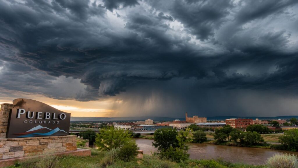
Southern Colorado’s Highway 50 Corridor Targeted for Heaviest Precipitation as Compact Storm Moves Through Wednesday, With Wet Snow Possible Near Walsenburg, Trinidad and Raton Pass
PUEBLO, COLORADO — Another storm is heading for Colorado, but this one is expected to be small and compact. It will mainly move through during the day on Wednesday, November 4, 2026, possibly lingering into the very early morning hours of Thursday, November 5.
If it follows its current forecast track, most of its impacts will stay south of Interstate 70.
Storm Timing: Wednesday Into Early Thursday
| Time | What to Expect |
|---|---|
| Wednesday daytime | Storm moves through southern Colorado |
| Wednesday evening | Precipitation continues along the main track |
| Late Wednesday night into early Thursday | Rain may change to wet snow in parts of south-central Colorado |
| Early Thursday | Storm exits to the southeast |
Forecast Track: Montrose to Pueblo and Into the Oklahoma Panhandle
The storm’s projected path runs from near Montrose in western Colorado, east across Pueblo, then curves southeast toward Kenton in the Oklahoma Panhandle.
Broad Zone for Rain and High-Elevation Snow
A wider area could see rain showers at lower elevations and snow at higher elevations. This zone stretches roughly from:
- Grand Junction and Denver in the north
- To Farmington and Taos in the south
- And east toward Burlington on the Colorado plains
Highest Precipitation Zone: Montrose to Lamar and Trinidad
The area with the potential for the highest precipitation amounts covers:
- Montrose, Telluride and Saguache
- Colorado Springs and Pueblo
- Eads, Lamar and Springfield
- Trinidad and south toward Kenton and Guymon
Bullseye Along the Highway 50 Corridor
Within that zone, forecasters say a possible bullseye for the heaviest totals could set up along the U.S. Highway 50 corridor, which runs through Montrose, Salida, Cañon City, Pueblo and Lamar.
Rain to Wet Snow Near Colorado City, Walsenburg and Trinidad
As colder air moves in late Wednesday night into early Thursday, rain could switch to wet snow around:
- Colorado City
- Walsenburg
- Trinidad
- Raton Mesa and Raton Pass
Drivers using Interstate 25 over Raton Pass should be prepared for slick conditions.
The Farther North, the Drier
Areas farther north, including Denver, Fort Collins and northern Colorado, are expected to stay mostly dry with this storm.
Good News for the Highway 160 Corridor After Recent Flooding
For communities along the U.S. Highway 160 corridor, such as Durango, Pagosa Springs and Alamosa, forecasters are not expecting a major precipitation event. Most amounts there should stay under a tenth of an inch.
That is welcome news after the historic flooding that hit Pagosa Springs and the San Juan River region just days ago, giving the area time to dry out.
Travel Impacts Wednesday Night and Thursday Morning
- Wet roads along the Highway 50 corridor
- Slushy snow possible near Walsenburg and Trinidad
- Slick spots over Raton Pass on I-25
- Reduced visibility in heavier bands
Travel Tips for Southern Colorado
- Check road conditions before driving early Thursday
- Slow down on wet or snowy roads
- Allow extra time for travel across passes
- Keep emergency supplies in your vehicle
Outlook: Forecast Could Shift With the Storm’s Track
Because the storm is small and compact, a slight shift in its track could change who sees the heaviest rain and snow. Residents across southern Colorado should keep checking for updates.
Stay with Bchssreport.com for the latest updates on this story.
About The Author
