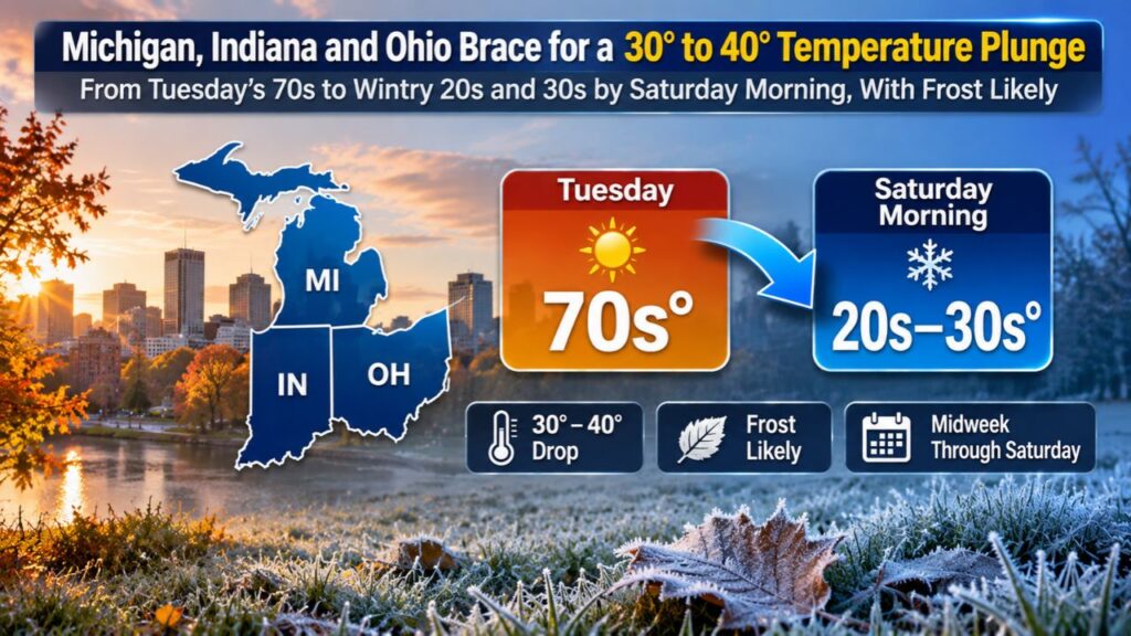
Michigan, Indiana and Ohio Brace for a 30 to 40 Degree Temperature Plunge From Tuesday’s 70s to Wintry 20s and 30s by Saturday Morning, With Frost Likely
MICHIGAN — Get ready for some serious temperature whiplash. After Tuesday, November 3, 2026, brought highs in the 60s and 70s, temperatures across Michigan and nearby states are expected to plunge to wintry levels in the 20s and 30s by Saturday morning, November 7.
That swing averages out to a drop of about 30 to 40 degrees statewide, one of the largest temperature swings of the year.
From Warm Tuesday to Wintry Saturday
| Day | Temperatures |
|---|---|
| Tuesday afternoon, November 3 | 60s and 70s |
| Saturday morning, November 7 | 20s and 30s |
| Overall change | About 30 to 40 degrees colder |
Drops of Up to 40 Degrees Across the Region
The temperature change map shows the biggest drops of up to 40 degrees across:
- Lower Michigan, including Detroit, Lansing, Grand Rapids, Kalamazoo and Saginaw
- Indiana, including Indianapolis, Fort Wayne, South Bend, Lafayette, Muncie, Bloomington, Terre Haute, Jasper and Evansville
- Ohio, including Toledo, Cleveland, Columbus, Dayton, Cincinnati, Mansfield and Youngstown

Smaller Drops in Northern Michigan and the Upper Peninsula
Some areas will see smaller swings, including parts of:
- The Upper Peninsula near Marquette and Ironwood
- Northern Lower Michigan near Traverse City and Petoskey
Cities like Sault Ste. Marie, Alpena, Escanaba and Hancock still fall within the colder pattern, but some local spots may not drop quite as dramatically.
Frost Likely Saturday Morning
With temperatures falling into the 20s and 30s, frost is likely across much of the region by Saturday morning. In some areas, it could even be cold enough for a hard freeze.
Why Such a Big Swing
The sharp drop comes as a strong cold front sweeps through the Great Lakes this week, replacing unusually warm air with a blast of much colder air behind it. The change follows an exceptionally warm October, which ranked among the warmest on record for many parts of Michigan, Indiana and Ohio.
What the Cold Snap Means for Residents
The sudden switch to wintry temperatures could mean:
- Frost on windshields and outdoor surfaces Saturday morning
- Damage to tender plants and late-season gardens
- Higher heating use as furnaces kick on
- Chilly conditions for weekend outdoor plans
Protect Plants and Pets Before Saturday
- Cover or bring in potted plants and late-season flowers
- Harvest any remaining garden vegetables
- Bring pets indoors during the coldest hours
- Disconnect outdoor hoses to prevent frozen pipes
Get Your Home and Car Ready for the Cold
- Test your furnace before the cold arrives
- Check tire pressure, which drops in colder weather
- Keep an ice scraper in your car
- Have warm layers ready for early-morning commutes
A Reminder That Winter Is Coming
After a long stretch of mild fall weather, this sharp cooldown serves as a reminder that winter is not far away for the Great Lakes region.
Outlook: Cooler Pattern Settles In
Forecasters will be watching how long the colder air lasts after Saturday. Residents should keep an eye on local forecasts for frost and freeze alerts.
Stay with Bchssreport.com for the latest updates on this story.
About The Author
