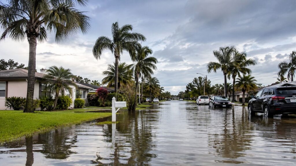
Florida’s Space Coast Soaked With Over 300% of Normal Rain in 30 Days After Massive 3-Day Downpour, While Tampa to Fort Myers Stays Stuck in Drought
MELBOURNE, FLORIDA — The last three days brought a remarkable amount of rain to parts of Florida, pushing totals along the Space Coast, south of Orlando and down to West Palm Beach to more than 300% of normal for the past 30 days.
Meanwhile, the Gulf Coast from Tampa to Fort Myers is still dealing with drought, highlighting a sharp east-west split across the state.
Three-Day Rain Totals Across Florida
Rainfall estimates for the past three days show the heaviest totals along Florida’s east coast:
| Area | Approximate 3-Day Rainfall |
|---|---|
| Melbourne and the Space Coast | About 6 to 9+ inches |
| Port St. Lucie and the Treasure Coast | About 6 to 9+ inches |
| Interior south of Orlando | About 6 to 9 inches |
| Southeast Florida toward Miami | About 4 to 6+ inches |
| Orlando | About 4 to 6 inches |
| Daytona Beach | About 2 to 4 inches |
| Bradenton and Fort Myers | About 2 to 4 inches |
| Tampa | About 1 to 2 inches |
| Jacksonville | Under 2 inches |
Over 300% of Normal in the Last 30 Days
The repeated heavy rain has pushed 30-day totals to more than 300% of normal for areas including:
- The Space Coast
- Areas south of Orlando
- The Treasure Coast, including Port St. Lucie
- South toward West Palm Beach
Flooding in Port St. Lucie and Beyond
The heavy rain led to significant flooding in places like Port St. Lucie, where video showed students stepping off a school bus into waist-deep floodwater on Monday after some areas picked up more than a foot of rain.

Tampa to Fort Myers Still in Drought
While the east coast was soaked, Florida’s Gulf Coast saw much less rain. From Tampa down to Fort Myers, conditions remain in decent drought, despite a few inches falling in spots.
Why the East Coast Got So Much More Rain
The heavy rain was tied to an upper-level low that stalled over Florida, along with a front and converging winds near the Atlantic coast. That setup caused storms to repeatedly form over the same eastern areas, while the Gulf Coast stayed on the drier side of the system.
Panhandle Pocket of Heavy Rain
Outside the peninsula, a small area of heavier rain also showed up along the Panhandle coast south of Tallahassee, with locally higher totals.
El Niño Expected to Bring More Rain This Winter
Forecasters say a lot more rain is likely in the coming months. Unlike this recent event, future rain is expected to be more directly tied to El Niño, which often brings a wetter winter to Florida.
What This Means for Residents
- East coast residents may still see standing water and saturated ground
- Gulf Coast residents should continue water conservation where drought remains
- Everyone should prepare for a potentially wetter-than-normal winter
Tips After Major Rain Events
- Check homes for water intrusion or roof leaks
- Clear gutters and storm drains
- Avoid standing water, which may be contaminated
- Watch for mosquitoes, which thrive after heavy rain
Stay with Bchssreport.com for the latest updates on this story.
About The Author
